
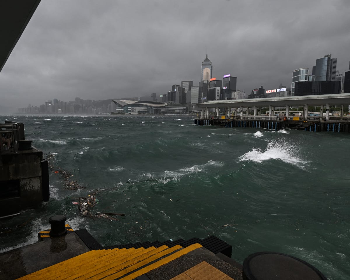
Hong Kong activated its most severe storm alert as Typhoon Wipha struck the city, prompting officials to cancel school sessions and halt numerous flights.
As of Sunday morning, Wipha was situated approximately 60 kilometers southeast of Hong Kong, the local weather agency reported. Large waves were observed along the eastern shoreline of Hong Kong Island.
The weather agency raised a T10 hurricane warning, the highest level, stating that sustained winds exceeding 118 kilometers per hour were anticipated, presenting a significant danger.
"Influenced by the typhoon’s core, hurricane-strength winds are impacting the southern regions," the agency noted, urging residents to take precautions against hazardous conditions.
According to state media, China’s Hainan and Guangdong provinces were also placed on high alert.
After intensifying into a typhoon overnight, Wipha moved toward Macau and the nearby city of Zhuhai. Forecasts predicted landfall by late Sunday, with the storm progressing westward toward Vietnam in the following days.
A spokesperson from Hong Kong’s airport stated that roughly 500 flights had been canceled due to adverse weather, while another 400 were postponed to later in the day.
Hundreds sought shelter in government-operated facilities. One individual was treated at a hospital emergency department, with authorities reporting multiple incidents of fallen trees.
Officials suspended classes across all schools and childcare centers for the day.
Train services were restricted, with suspended operations in exposed areas.
In the Philippines, Wipha caused heavy rainfall and flooding, leaving two people missing, as confirmed by the national disaster agency.
The last T10 warning in Hong Kong was issued in 2023 for Super Typhoon Saola.
Read next

Bolivia Probes Ex-President Evo Morales for Suspected Involvement in 2009 Killings
The Bolivian attorney general has initiated an investigation into former leftist president Evo Morales, citing allegations of his involvement in the murder and torture of European nationals in 2009.
In 2009, police conducted a raid on a Santa Cruz hotel, resulting in the deaths of Eduardo Rózsa Flores, a Bolivian-
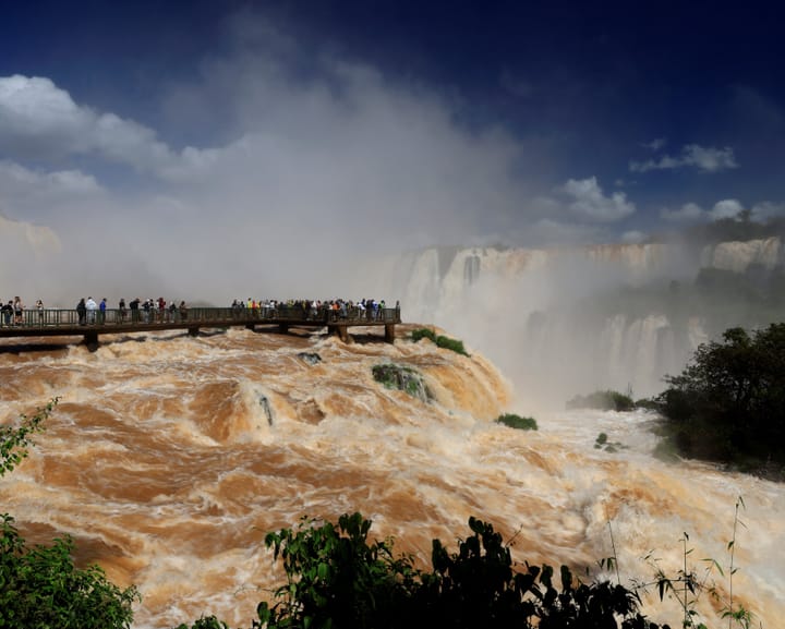
Argentina Closes Iguazu Falls Temporarily Due to El Niño-Induced Water Surge
Heavy rainfall driven by a potent El Niño weather pattern temporarily led Argentinian authorities to close tourist access to the renowned Iguazu Falls. The closure occurred due to concerns that rising water levels might cause the river to overflow its banks.
On Monday, national park officials implemented this precautionary measure

Mysterious Drones Strike Two Vessels Near Bulgarian Coast – Europe Live
Morning Update: Two Ships Targeted by Drones Off Bulgarian Coast
This morning, two ships in the Black Sea near Bulgaria were struck by drones of unknown origin. The attack led to the sinking of one vessel and initiated emergency rescue operations, as reported by Bulgarian Prime Minister Rumen Radev. Rescue